

The city of Kasese is implementing nature-based solutions to adapt to climate change by mapping urban forestry and wetlands
Published: 14 Dec 2022
Adaptation
General
Mitigation
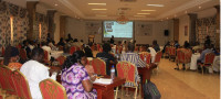
Since joining the Covenant of Mayors in Sub-Saharan Africa (CoM SSA), one of the Kasese municipality’s commitments has been to increase the management and mitigation of climate risks. Recently, the city took a step towards accomplishing this goal by completing the mapping of its urban forest areas and wetlands.

part of the land use mapping exercises.
Kasese municipality faces an increased frequency of floods due to its location on the slopes of the Rwenzori Mountains, where rivers and their tributaries flow from the bogs of the mountains. One of the major causes of these catastrophes, among others, is the continued cutting down of trees, and unfavourable farming practices, especially at the river banks. As a result, hills have been left bare, making them prone to mudslides and crop damage. This is affecting local income and food security.
Despite efforts to protect natural assets, the tree survival rate is low, and there are no actions in place to guide the urban forest interventions in the municipality.
Mapping urban forests to address flood risks and better guide decision-making
The municipality is implementing a mapping project to determine land use focused on forest cover to address the threat of flood risks. Land cover maps provide vital information about the patterns of land use in a specific geographical area.

The land types mapped within the district of Kasese are forest, tree plantations and shrubland, grassland, agricultural land, built-up areas, open spaces, bare land and wetlands.
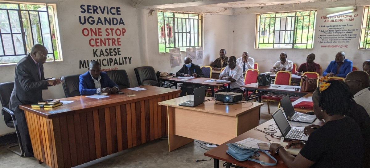
There is also ongoing training in the municipality on Geographic Information Systems (GIS). One of the project’s activities was to train and build the capacity of 8 local officials in GIS and urban forest management. This included modules on spatial analysis and map production. The objective is to develop a GIS map of Kasese municipality showing the land cover and land use, highlighting forest cover and open space by neighbourhood. This tool can also be used for historical and predictive mapping to inform policy decisions and future land use. In addition, to ensure knowledge is retained beyond the duration of the project Kasese is developing an urban forest management action plan with an implementation strategy.
Mapping wetlands to preserve ecosystems and prevent communities from climate risks
Complimentary to this activity on urban forests and urban land use, Expertise France (EF), a CoM SSA partner, is supporting a similar exercise targeted at the wetlands in Kasese. Launched in November, the project aims to develop an inventory of all the wetlands in Kasese municipality, survey and demarcate their boundaries and develop a wetland management action plan with a practical implementation strategy to build local capacity in the participatory community-based restoration of degraded wetlands.
Most of the wetlands and riverbanks in the municipality have no clear boundaries and have been encroached on by the surrounding communities for farming, mining or waste disposal. This causes pollution and increases community vulnerability to flooding and loss of biodiversity.
The 5-month project will conduct a mapping exercise of the environment. Once a clear overview of the wetlands has been established, a comprehensive wetlands management strategy and its practical implementation plan emphasizing priority actions for the different wetlands will be developed. In addition, the program will plant 300 beacons along wetland boundaries and offer training to local officials on wetland management.
Related Articles
-
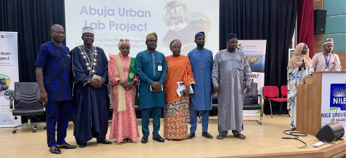
Press Release | Successful Launch of Abuja Urban Lab Transforms Waste Governance in the City
Abuja, December 13, 2023 – In a ground-breaking move towards sustainable urban development, the Nile University, in partnership with the Covenant of Mayors in Sub-Saharan Africa (CoM SSA) co-implementing partner, the Deutsche Gesellschaft für Internationale Zusammenarbeit (GIZ), successfully unveiled the Urban Lab initiative to establish an efficient waste management system in the Abuja Municipal Area Council. This initiative also seeks to enhance community awareness about waste issues and promote environmental sustainability through strategic partnerships and innovative waste management solutions.
View articles -

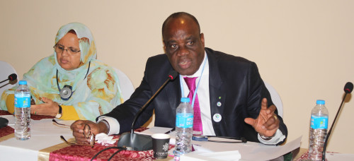
Press release | EU Climate Diplomacy Week: Four Mayors unite to confront climate change challenges
At a roundtable during the European Union (EU) Climate Diplomacy Week, Mayors and representatives from Accra, Tema, Sekondi-Takoradi, and Awutu Senya East join forces to address the pressing issue of climate change.
View articles -
Genuine collaboration critical for African cities to combat devastating climate change
We need to take a long, hard look at the state of our planet and map a better course for our future. We need genuine collaboration, true inclusivity and authentic commitment to decrease the significant gap between promises and climate action. The recent Africa Climate Summit and UNFCCC Africa Climate Week, together with the Global Stocktake Report, highlighted that there is an urgent need to scale up a rigorous all-of-economy, all-of-society approach which leads to significant climate action this decade in order to limit global warming to 1.5°C.
View articles